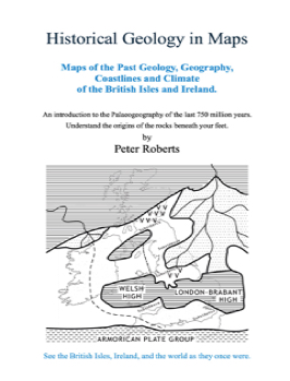
Maps of the Ancient Geology, Geography, Coastlines, and Climate of the British Isles and Ireland.
Published by Russet Publishing. 2016. 153 US-letter-sized pages.
£.9.49 Supplied as a PDF book. No VAT, No postage, No packaging, No courier.
This is a different type of geology book in that it tells the geological story of the British Isles and Ireland by means of maps with accompanying descriptions. People find maps much easier to understand than just a lot of complicated text. Detailed maps of each major period allow you to picture what the British Isles was really like at any given time over the last 543 million years. That means from the Cambrian up to the present time.
However, the book actually starts with a set of maps that shows the world's tectonic plate movements over the last 750 million years. How did the continents develop and coalesce to the form the shapes that we recognise today? Where were the British Isles or North America,India, or Africa, say, 400 million years ago? The first part of this book will tell you that! It will show you by means of clear global maps with accompanying explanations.
For the more detailed maps of the British Isles and Ireland, there is one map for each of the main geological periods - Cambrian, Ordovician, Silurian, Devonian, etcetera, right up to the most recent Ice Age. The book contains tables and diagrams covering the changes in the climate of the British Isles over that period of time, and covers sea level change, atmospheric change, fossil types, major extinction events, mountain building and so on - always referring to the relevant map.
You can see more details about it by clicking:
and - if you like it - you can buy it.
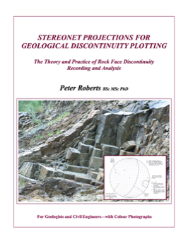
Stereonet Projections for Geological Discontinuity Plotting
The Theory and Practice of Rock face Discontinuity Recordimg and Analysis
Published by Russet Publishing 2021. 125 US-letter-sized pages.
£23.00. Three copies are downloaded for you. One each for any combination of desktop computer, laptop, and/or tablet. Three PDF files will be sent, locked to either your personal or your work email address for your security. See our TERMS for necessary details.
This modern book is written for geologists, engineering geologists, and civil engineers working in the fields of geotechnical, highways, and civil engineering, as well as in the mineral exploration and quarrying industries. It will also, no doubt, be useful for undergraduates, as it forms a comprehensive introduction and contains useful assistance in the form of four chapters on why stereonets are needed, how to go about obtaining field data, and the field recognition of geological structures exhibiting sloping discontinuities.
The overall purpose of this book is to provide the individual with a comprehensive grasp of the subject from setting out into the field to the analysis of complex multiple discontinuity patterns in measured field data. The information contained on field techniques will give the user confidence to assess, plan, and undertake field data acquisition for manipulation in stereonet format.
The great majority of the diagrams are drawn by Peter Roberts himself, thus reducing possible artistic error through the re-drawing process. The book contains worked examples in the chapter on the use of stereonets for field work interpretation and is designed for use anywhere in the world.
There is arguably no equally balanced practical, or useful book available elsewhere.
You can see more details about it by clicking:
and - if you like it - you can buy it.
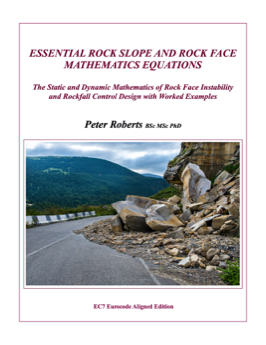
Essential Rock Slope and Rock Face Mathematical Equations
The Static and Dynamic Mathematics of Rock Face Instability and Rockfall Control Design with Worked Examples.
Published by Russet Publishing 2021. 315 US-letter-sized pages.
£32.00. Three copies are downloaded for you. One each for any combination of desktop computer, laptop, and/or tablet. Three PDF files will be sent, locked to either your personal or your work email address for your security. See our TERMS for necessary details.
This modern book is written for geologists, engineering geologists, and civil engineers working in the fields of geotechnical, highways, and civil engineering, as well as in the mineral exploration and quarrying industries. It will also, no doubt, be useful for undergraduates, as it forms a comprehensive introduction and contains a unique, compact, guide to the essential mathematics equations for both static and dynamic modular analysis.
This book provides the user with the real, practical, information that will give him/her the confidence to assess the potential instability of any site. Using the equations, it explains how to calculate the static and dynamic forces to be overcome in any required short-term and long-term stabilisation works. It explains how to specify the requirements of the materials and methods necessary to achieve the required states of stability.
The great majority of the diagrams are drawn by Peter Roberts himself, thus reducing possible artistic error through the re-drawing process. The book contains numerous worked examples. Although capable of being used anywhere in the world, this book conforms to modern limit-state design procedures. There is arguably no equally balanced practical or useful book available elsewhere.
You can see more details about it by clicking:
and - if you like it - you can buy it.
These are Dr Roberts' currently-available geotechnical books.
If you're interested in seeing what's inside, just click its name below.
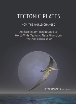
Tectonic Plates
How the World Changed
Published by Russet Publishing. 2016. 38 US-letter-sized pages.
£.6.50 Supplied as a PDF book. No VAT, No postage, No packaging, No courier.
This book has been written and the maps drawn for beginners, night classes, schools, universities, amateur geologists, climatologists and even for professional geologists.
It is for anyone who wants to understand the causes of the huge changes in the world's geology, oceans, and climate, which have, in turn, created and moulded its diverse geographical landscapes.
You can see more details about it by clicking:
and - if you like it - you can buy it.
Russet Publishing promotes the works of Prof Dr Peter Roberts.
He was a Fellow of the U.K. Institution of Civil Engineers for 27 years, and a Fellow of the Geological Society of London for 42 years. He has more than 45 years of international experience as a consulting engineer.
His academic qualifications are: BSc (geology) MSc (mining and tunnelling) PhD (civil engineering).
His full affiliations, before he retired from his various professional societies were:
BSc MSc PhD CEng CGeol CText FICE FTI FIMMM FIGeol FGS
Geological and Geotechnical Books
GEOLOGY
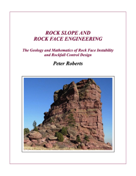
Rock Slope Engineering
The Geology and Mathematics of Rock Face Instability and Rockfall Control Design
Published by Russet Publishing as a high-resolution, PDF book with colour photographs.
Published 2020. 538 US-letter-sized pages.
£69.80. Three copies are downloaded for you. One each for any combination of desktop computer, laptop, and/or tablet. Three PDF files will be sent, locked to either your personal or your work email address for your security. See our TERMS for necessary details.
This modern book is written for graduate civil engineers, engineering geologists, and geologists working in the geotechnical, highways, civil, and mineral extraction industries. It will also be useful for undergraduates studying for those professions.
The overall purpose of this book is to provide the engineer with the real, practical, information, technique, and maths to assess, design, and supervise rock stabilisation works on a day-to-day basis.
The great majority of the diagrams are drawn by Peter Roberts himself, thus reducing possible artistic error through the re-drawing process. The book contains working examples for all numerical procedures, and is Eurocode 7 aligned.
There is arguably no equally comprehensive, practical, or useful book available elsewhere.
You can see more details about it by clicking:
and - if you like it - you can buy it.
Prof Dr Peter Roberts
Geological and Geotechnical Books
Prof Dr Peter Roberts
See four out of many five-star reviews of this book by clicking the button above. The following testimonial is typical.
"I can't say enough good things about your book. As someone who always had an interest in geology I find this an indispensable guide to local and global geology."
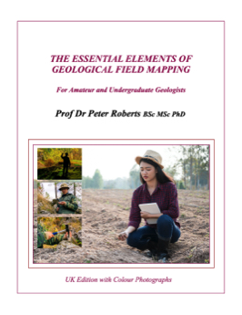
The Esssential Elements of Geological Field Mapping
For Amateur and Undergraduate Geologists.
Published by Russet Publishing 2021. 355 US-letter-sized pages.
£27.00 Supplied as a PDF book. No VAT, No postage, No packaging, No courier.
This modern book is written for amateur geologists and those studying for a geology degree and hoping to work in the fields of geotechnical, highways, and civil engineering, as well as in the mineral exploration and quarrying industries. It will also, no doubt, be useful for graduates who are in the early parts of their careers and who might benefit from a refresher in mapping.
The overall purpose of this book is to provide the individual with the real, practical, information and techniques that will provide the confidence to assess, plan, and undertake the preparation of geological maps on a day-to-day working basis.
The great majority of the diagrams are drawn by Peter Roberts himself, thus reducing possible artistic error through the re-drawing process. The book contains worked examples in the chapter on the use of stereonets for field work interpretation. Although capable of being used anywhere in the world, this book has been written primarily for use in the United Kingdom.
This book covers everything from what you need to buy to what you need to wear and how you actually go about doing your mapping. There is arguably no equally comprehensive, practical, or useful book available elsewhere.
You can see more details about it by clicking:
and - if you like it - you can buy it.